With a human face

For the map enthused!
Rules:
post relevant content: interesting, informative, and/or pretty maps
be nice
With a human face
I did not realize the distance between the US and Canada was so big.
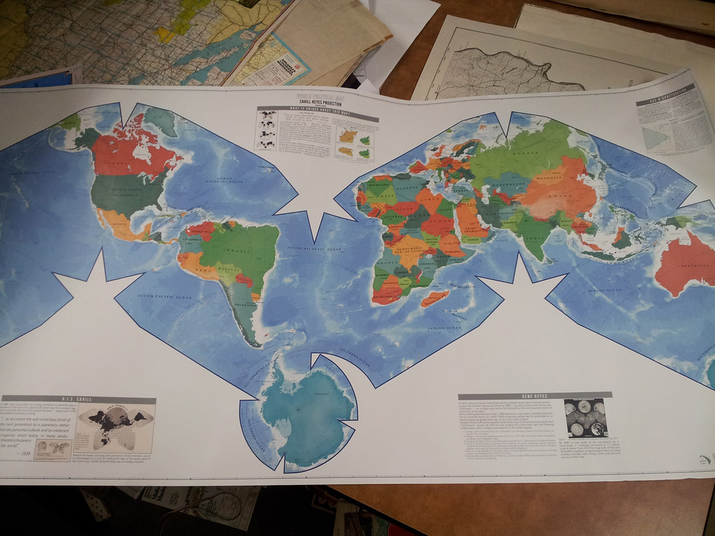
It sucks that mercator became the standard map. I know basically nothing about maps, but i know how not-great mercator is. Of the little i know about cartography I like Winkel Tripel the best
Winkel Tripel is very nice!
Ah, I see you're that kind of map enthusiast, eh?
Edit: I see you've already posted it yourself. Not an original bone in my body.
I kinda like the Kavrayskiy VII projection. It's similar to the Winkel triple but it looks more natural to me, like a 2D Google Earth.
Eckert IV is mine, which is quite similar visually. It has the upside of being equal-area, but the downside of squashing the poles a bit more. Sadly both of us suffer the injustice of being excluded from that one xkcd comic
It looks cool!
“It’s freaking me out!”
I think that was the upside down map
Unmuted this and was very disappointed that there wasn't a trombone sound
USA is only about as big as europe in surface area? And russia about 1/3 bigger?
Which is why should use the Gall-Peters projection.
I hate you.
Since when is Patagonia its own country?
Islands have been done separately from the mainland when they're part of the same country on this map. Look at Canada, where Vancouver Island and Newfoundland end up far away from the rest of Canada
Ah good call
Breathe in!
Another L for Russia
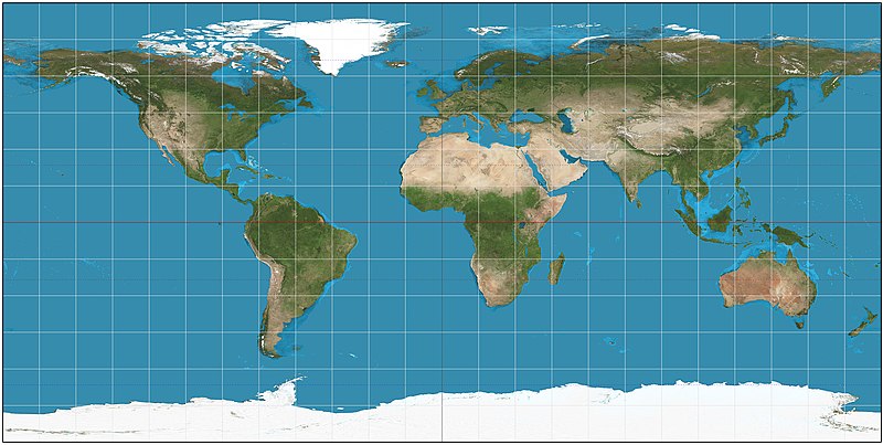 which is not conformal or equal area.