OpenStreetMap community

4167 readers
1 users here now

Everything #OpenStreetMap related is welcome: software releases, showing of your work, questions about how to tag something, as long as it has to do with OpenStreetMap or OpenStreetMap-related software.

OpenStreetMap is a map of the world, created by people like you and free to use under an open license.

Join OpenStreetMap and start mapping: https://www.openstreetmap.org.

There are many communication channels about OSM, many organized around a certain country or region. Discover them on https://openstreetmap.community

https://mapcomplete.org is an easy-to-use website to view, edit and add points (such as shops, restaurants and others)

https://learnosm.org/en/ has a lot of information for beginners too.

founded 5 years ago
MODERATORS
251


I saw a post on OpenStreetmap contributions on another comm, and was asked to post here. It would be really cool to see what people have contributed, and where!.

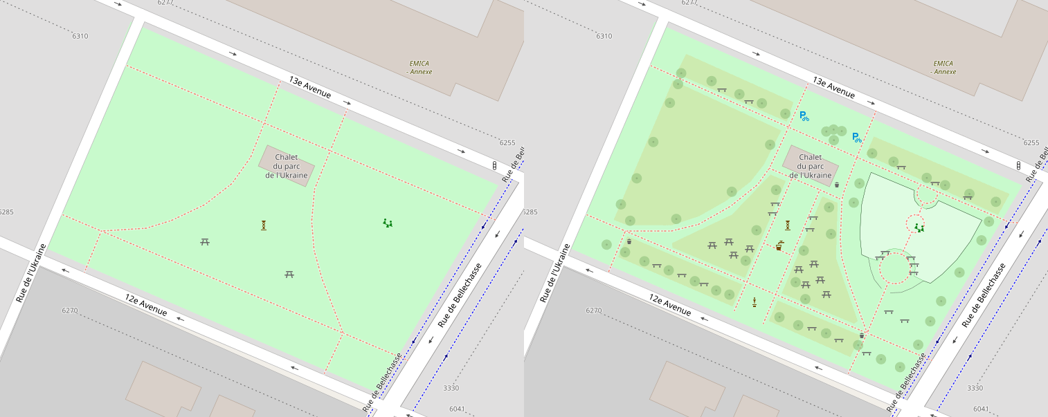
I have been doing stuff on and off again for the last 13 years, and just installed street-complete thanks to a lemmy thread, i have just gone through and added a bunch of details to my suburb, and really want to start getting addresses added, so i can stop using gmaps so much!

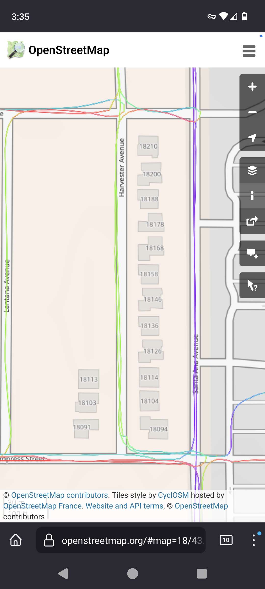
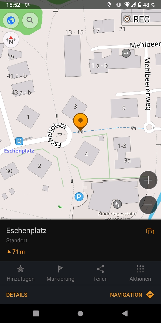
anyway, go to openstreetmaps.org, go to your profile and click "my edits. then try and load them all (unfortunately it is paginated).

Then post a screenshot of your map.

252


Hi everyone im new to the OSM community but eager to contribute. Im curious how many of you use OSM on android phones and how you interact with it. I'm interested both in terms of contributing but also using it for its map functionality e.g. navigation. Based in my early research so far the most popular apps seem to be:

  • OsmAnd
  • Vespucci
  • Maps.me
  • StreetComplete
  • Organic maps
  • Magic Earth

Im really looking for your opinions on what apps are worth using and for what purpose. Do you just use one app or multiple apps for different purposes. Which app would you recommend to your tech savvy friend and which to your mum? There's probably a bunch more i haven't mentioned so please also highlight them and any strengths or weaknesses they have. Thanks 😊

253


I realize that google maps timeline feature is pretty antithetical to the way the average user here wants to do things, but I really like it as a way to easily go back and see where I went a particular day, or the last time I visited a particular place. It's also the most common way for me to notice a road that's missing from their map, because it can't figure out the route that I took.

Obviously, I'd really like to take more ownership of my data, but I have yet to find any OSM based apps that will just randomly get location in the background and write it down. Does anyone have suggestions?

254


Hi! This is the place to show or tell about some cool stuff you did with OpenStreetMap!

255


I downloaded Street­Complete to contribute to OSM and on https://f-droid.org/en/packages/de.westnordost.streetcomplete/ it warns you that "This app promotes or depends entirely on a non-free network service". I'm not super concerned about that and will still try out Street­Complete but i was just wondering what non-free network service this is. Does anybody here know?

256


I used https://streets.gl for the "Google Earth" view of the OSM data.

Much of the work was done with the help of https://rapideditor.org/, although there was also a LOT of manual tracing and corrections along the way.

We have so much new development in the area that I had to rely on some pretty updated satellite images and local surveying to get most of that done (with more to be done in the future as several hundred more homes go up this year).

I used a combination of Bing, ESRI world imagery (the regular, not "clarity" beta), and Maxxar Premium imagery.

Totally worth it!

257


Hello everyone. I've just started the adventure of contributing to OSM and have questions. What is the etiquette when it comes to creating "areas"? As in, for example, a Walmart. Do you create an area around the entire property and level it as retail? And then the building. Do I call the building itself "Walmart" or do I just call it "shopping center" or whatever it's called and leave the Walmart part to a point? Basically what I'm asking is should buildings themselves be specific to the business or should that be left solely to the point?

258


Welcome guys,

I'm allowing myself to post this since I'm a contributer especially for the Philippines area. I hope more people will join us and we can have a healthy community.

259


If there's not on the F-Droid, on the google store is cool too.

260
 
 
261


What #OpenStreetMap people are near #Oxford #UK? There's loads of things that need updating. Let's see if we can organise something over the fedi!

(boosts appreciated, sorry for the # and @ spam) @openstreetmap@en.osm.town @openstreetmap@lemmy.ml @openstreetmap@a.gup.pe

262
 
 
263


There are some really common items around my city that I find myself adding a lot, and it's a pain to either place them and add the tags from scratch or to pan around the map until I find one to copy. It would be cool if I could save templates of these items to place! Things like the silver bike racks the city installs, or the round planters they place to block off alleys with. Things that are the same every time.

Just rambling, haha.

264
265


Did you recently (or not recently) map a cool area that you want to show? Something you are proud of? Post it here! A little explanation of why it is cool might help as well.

266


Thanks for your help, and happy to be a part of this community ☺️

267


how does one map an abomination of bike lanes running down the center of a two-way street?!

valencia st in san francisco is currently mapped as a two-way street with outer bike tracks, which used to be accurate. the city ripped those up and painted lanes in the middle; these barely deserve to be called tracks because cars can trivially cross into the bike lanes - there's just a little rounded hump an inch or two high.

do we split the road into two one-way roads with bike tracks on the left side? besides being dishonest, as it's a contiguous piece of asphalt with no median, i think we'd need a ton of new relationships to describe what turns can and can't be done at every intersection.

or, morbidly, do we wait for enough cyclists to be killed that they put it back?

268


When I get bored of adding in buildings (much of my city doesn't have buildings yet.) then I like to do a little "micro-mapping" of local parks. I got the idea from Reddit and immediately fell in love. It makes me so happy to see them on the map when I'm navigating later!

269


Hi!

OpenStreetMap is a map that anyone can edit and anyone can freely reuse. It has a huge ecosystem, and can thus be a bit confusing to edit or to work with.

I thought that having a weekly thread to ask all beginner questions would be nice for everyone interested, so - go for it!

If you know the answer to a question, please answer (so that I don't have to answer everything).

270


Hi all!

Welcome to the OSM-community on Lemmy. With this post, we'd like to introduce us, tell us what you expect from this place and what it should/might become.

BTW: we are still open to add more moderators! Make an introduction post here, mentioning why you want to moderate and showing some of your mapping work. (If you don't want to share your OSM-username, you can also PM that to one of the mods)

So, I'm @pietervdvn (https://osm.org/user/Pieter%20Vander%20Vennet ; he/him), I'm the main dev of https://mapcomplete.osm.be . I'm involved with OSM most of the time and quite happy that there is momentum to move away from Reddit to an open-source, federated platform. ;) Personally, I already have a lot on my plate so I do not have enough team to moderate this place, so I'd like to get a team here quickly and start this place so that I can retire here.

https://lemmy.ml/u/Ben_on_Lemmy was the original founder of this community - but lost interest as nobody joined a few years back. But the tides have turned! One thorough search for the password of his account later and he's back!

At last, https://lemmy.ml/u/SyJ just joined the moderation team as well - even though I don't know a whole lot about them.

So:

  • Do you have any questions for us?
  • What do you expect from the moderation team?
  • What do you expect from !openstreetmap?
  • What should this place look like in about one year time?
271


A nice comprehensive post explaining why State of the Map Conferences #SotM are so important to #OpenStreetMap: https://blog.openstreetmap.org/2023/07/07/why-state-of-the-map-conferences-are-so-important-to-osm/

Already attended one?

Cc: @openstreetmap

272


For this #OpenStreetMap Belgium’s Mapper of the Month #MotM entry, the spotlight is on Michel Hebert from #Grenoble, France: https://openstreetmap.be/en/motm/2023/07/01/michel-hebert.html. He will probably be known by the people following @OsmGrenoble.

Cc: @openstreetmap

273


Hi all,

I have been made moderator for this community after I requested this.

However, I'm but a human too - and I already have enough to do, so I would like to spread the load as much as possible - not to mention that I'll be on holidays soon.

In other words, I'm searching for some more people to man the ship!

To apply as moderator here, I'd like to be sure that you are well-embedded in the OSM-community and have the necessary skills. As lemmy is a mostly english-speaking community, you must have decent english skills.

Furthermore, some communication skills and discretion is necessary too. At last, a bit of time to regularly check the community here is necessary as well (I'm lacking the last thing a bit). Furhtermore, you'll obviously need an account in the threadiverse. If you have an account (on another server), that should work. (I think one can moderate over server boundaries). If you don't have an account yet, it might be a good idea to make one on lemmy.ml as that is the one hosting the community.

As many people discovered lemmy just recently, the useraccount here probably won't have a lot of credit here. As such, you can:

274
1
submitted 2 years ago* (last edited 2 years ago) by nnachtigal@discuss.tchncs.de to c/openstreetmap@lemmy.ml


I found this kind of cycle barrier in Oldenburg right here:

There are 2-3 similar barriers in the same region.

Problem: there is no design specified in openstreetmap fitting for those. How can this be solved?

(I mean the list below "Types / designs of cycle barriers" here: Cycle barrier in OSM Wiki )

275


Hey guys, great to see this community popping up on Lemmy. I am an earth data scientist with focus on remote sensing and a fan of OSM for years now. So far I only contributed minor stuff via StreetComplete, but now finally added my first building using the ID editor. It was surprisingly easy and I am super happy I could remove this blind patch from my neighborhood.

Just wanted to share my little success!

view more: ‹ prev next ›